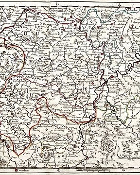
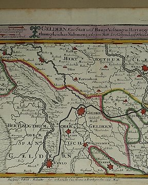
Europe, Map - Germany / Netherlands / Geldern / Limburg / Venlo / Gennep; Gabriel Bodenehr - Geldern eine Statt und HauptVestung in Hertzogthum gleiches Nahmens - 1720
No. 30907083
No. 30907083
Condition: very good. Adequate margins. Folds are as issued. Verso: blank.
Hand-coloured copper engraving appeared in the "Tegenwoordige Staat der Nederlanden...", by Isaak Tirion, Amsterdam, 1749.
Will be sent in a tube.
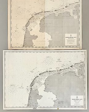
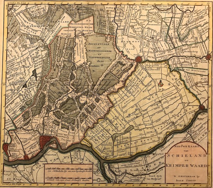
Very detailed and reliable map, which clearly shows how the peat dredging in the middle of the 18th century threatened this part of Holland, so that the governments had to take hard measures in order to prevent a "second Haarlemmermeer " would arise north of Rotterdam. Also interesting is the course of the peat river ‘De Rotte’ and due to the many polder and field names. For those interested in the history of the area, this is a great source of information.
How to buy on Catawiki
1. Discover something special
2. Place the top bid
3. Make a secure payment